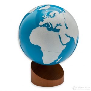
Description
The World Atlas for Children contains the following content:
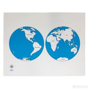
- detailed maps of individual continents,
- opener map for each continent,
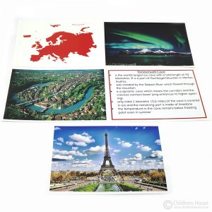
- full-colour photographs,
- flags of the world,
- the physical world,
- business languages and regions,
- eight major geographical environments,
- the political world, populations and time zones.
Features:
- 85 pages of detailed, finely-crafted maps and essential facts and figures,
- 28 pages of simple, country-by-country maps, colour photographs with text and individual country flags.
The concise index within the World Atlas for Children includes a detailed index of place names and 15,500 place names
An easy-to-use World Atlas with Map scales of 1 : 11,500 000 to 35,000 000 and Europe at 1 : 6 000 000


Reviews
There are no reviews yet.